
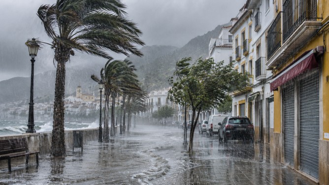
Spain is bracing for severe weather as Storm Bruna and subtropical Storm Charles threaten to bring heavy rain, strong winds, and hazardous sea conditions to various regions. A rare red weather alert has been issued for northern Cáceres and southern Ávila, with forecasts indicating up to 120mm of rainfall within 12 hours on Tuesday, November 10.
Authorities have warned of potential flash flooding, rapidly rising rivers, and possible landslides. In response, schools in northern Cáceres have been closed, and Extremadura has activated its emergency flood response plan. Some mountainous areas could see more than 150mm of rain, with total precipitation possibly exceeding 300mm during the storm.
The situation is expected to worsen on Wednesday, November 11, as Storm Charles approaches the Iberian Peninsula. This storm is predicted to cause widespread heavy rainfall across western and southern Spain, impacting regions such as Andalucía, Extremadura, and Castilla y León. Certain mountainous areas might receive close to 100mm of rain.
Strong winds are a significant concern, with gusts potentially exceeding 100km/h in exposed areas of western and southwestern Spain. The Canary Islands, particularly La Palma and Tenerife, might experience gusts over 130km/h in mountainous regions.
Coastal conditions are also expected to deteriorate, with waves reaching five meters in the Gulf of Cádiz and four to five meters in western Galicia. Authorities have cautioned residents about flooding, dangerous travel conditions, falling trees, and damage from strong winds.
While conditions are forecasted to gradually improve by Thursday as Storm Charles moves northeast, heavy showers and strong gusts may persist in some areas. Residents and travelers are advised to heed official weather alerts and local emergency instructions as the situation unfolds.